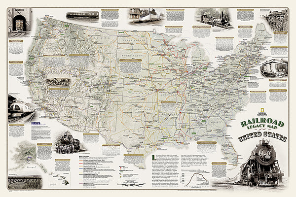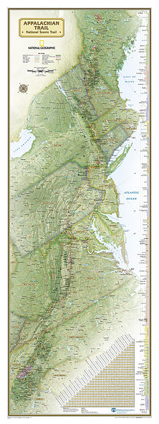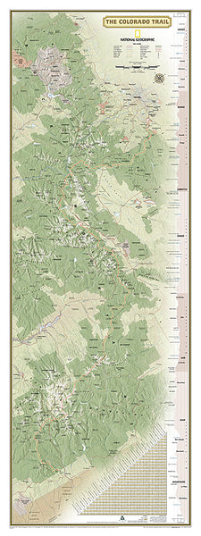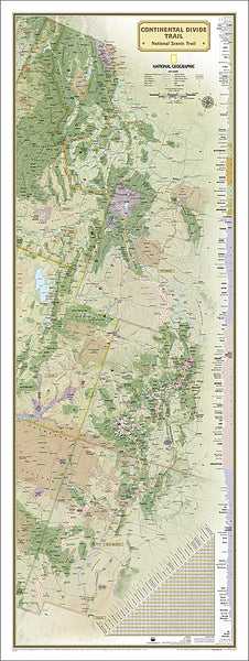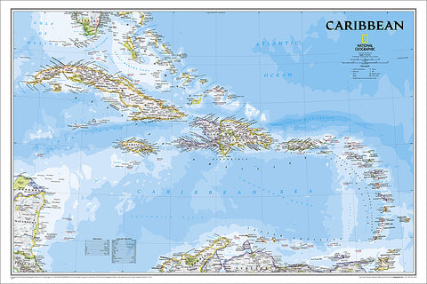
Map of THE CARIBBEAN National Geographic Classic Edition 24x36 Wall Map Poster - NG Maps
- USD $2495 $24.95
Item #: NG-RE01020617
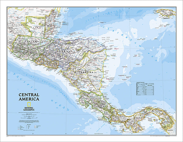
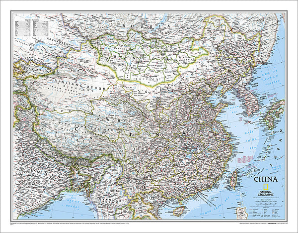
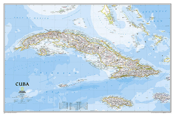
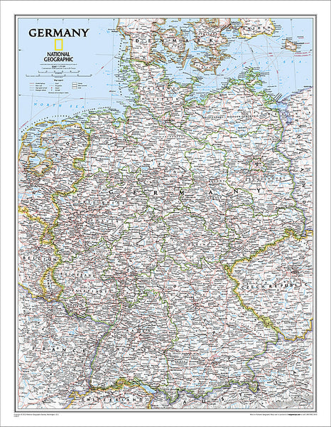
Bring your wall alive with the world's gold standard of wall maps! Take a trip to the beautiful, wondrous Caribbean Sea region with this absolutely incredible Classic Edition Map, from the greatest cartographers on the globe, National Geographic. From the map collection you've seen in classrooms, libraries, offices, coffee shops, and other public places all your life - now own one for yourself.
One of the most authoritative maps for the islands of the Caribbean Sea. It shows the entire region in great detail, with coverage extending from the tip of Florida to the northern extents of Colombia and Venezuela, east to Barbados, and west to the eastern edge of Honduras, Costa Rica, and Nicaragua. Detailed bathymetry reveals the remarkable seafloor variation of the Caribbean including the Puerto Rico Trench, the deepest point in the Atlantic Ocean at 8,605 meters (28,232 feet). Includes over 1,000 named places including country capitals, primary and secondary towns; political boundaries, important infrastructure, and all key landforms. Useful and informative notes about the region's history and unique geography are spread throughout the map, providing the reader further understanding of the Caribbean's unique attributes.
This 24" x 36" edition is the perfect size - not too big, not too small - ideal for any wall of your choosing. Every lover of Cuba can use this piece as an accent to home, office, classroom, library, or other public facility. Make this yours!
Shop for more related posters in these collections:
We Also Recommend
Biblical Family Tree and Historical Timeline Wall Chart Premium Reference Poster - Useful Charts
Item # UC-17Bijan Robinson "Superstar" Atlanta Falcons NFL Action Poster - Costacos 2024
Item # CN25454-24Caitlin Clark "Action" Indiana Fever WNBA Women's Basketball Poster - Costacos 2024
Item # CN25911-24Caitlin Clark Indiana Fever 2024 WNBA Rookie of the Year Commemorative Poster - Costacos Sports
Item # CN26065-24CeeDee Lamb "Trailblazer" Dallas Cowboys NFL Action Poster - Costacos 2024
Item # CN25459-24Christian McCaffrey "Superstar" San Francisco 49ers NFL Action Wall Poster - Costacos 2024
Item # CN25478-24Coach John Wooden's "Pyramid of Success" Motivational Inspirational Wall Poster - Classic Edition
Item # JWC-01-CLCoach John Wooden's "Pyramid of Success" Motivational Inspirational Wall Poster - Executive Edition
Item # JWC-01COMBO: Vegas Golden Knights 2023 Stanley Cup Champions Commemorative 2-Poster Set - Costacos Sports
Item # CN23052-23053Connor McDavid "Superstar" Edmonton Oilers NHL Hockey Poster - Costacos Sports 2022
Item # CN22885-22Dak Prescott "Lone Star Great" Dallas Cowboys QB NFL Action Poster - Costacos Sports 2022
Item # CN22714-22Denver Nuggets 2023 NBA Champions Official Commemorative Poster - Costacos Sports
Item # CN23048-23Detroit Lions Official NFL Football Team Helmet Logo Neon-Style Poster - Costacos Sports
Item # CN23842-23Dumbbell Exercises Workout 2-Poster Professional Wall Chart Combo - Productive Fitness
Item # PFP-DUMBELLSFitness Gym Motivational "Challenge Your Limits" Inspirational Quotes Wall Poster - Trends Int'l.
Item # CN15817-17Ford F-Series Pickup Truck Evolution (26 Models Since 1948) Autophile Poster - Eurographics
Item # EU2400-0950Ford Model T Automobiles (1908-1927) Official Ford Motor Company Commemorative Poster - Aquarius
Item # SB-P2030Ford Mustang "Evolution" (29 Classic American Muscle Cars) Poster - Eurographics
Item # EU2450-0684Jalen Hurts "Roll Out" Philadelphia Eagles QB NFL Action Wall Poster - Costacos 2023
Item # CN23943-23Josh Allen "Touchdown Roar" Buffalo Bills QB NFL Action NFL Poster - Costacos 2023
Item # CN23937-23Josh Allen and Stefon Diggs "Superstar Duo" Buffalo Bills NFL Action Poster - Costacos Sports
Item # CN21292-21Kansas City Chiefs Super Bowl LVII (2023) CHAMPIONS 6-Player Commemorative Poster - Costacos
Item # CN22969-23Kansas City Chiefs Super Bowl LVIII (2024) CHAMPIONS 8-Player Commemorative Poster - Costacos
Item # CN23874-24Kobe Bryant and Shaquille O'Neal "Showtime" Los Angeles Lakers Poster - Starline 1999
Item # S3568LeBron James "Legend" Los Angeles Lakers Official NBA Poster - Costacos Sports
Item # CN24074-23LeBron James "Showtime 6" Los Angeles Lakers Official NBA Poster - Costacos 2022
Item # CN22691-22Los Angeles Dodgers "2024 Glory" World Series Champions Premium Art Collage Poster - Wishum Gregory
Item # WS101Marilyn Monroe "Pumping Iron" (Hollywood 1952) Poster Print - Image Conscious.
Item # IC-H353Maxx Crosby "Superstar" Las Vegas Raiders NFL Action Wall Poster - Costacos 2024
Item # CN25466-24Micah Parsons "Prowler" Dallas Cowboys Linebacker NFL Action Poster - Costacos Sports 2022
Item # CN22653-22Michael Jordan "1987 Slam Dunk Classic" Chicago Bulls Commemorative NBA Poster - Costacos Sports 2022
Item # CN21923-22Michael Jordan "23 Soaring Slam" Chicago Bulls Commemorative NBA Poster - Costacos Sports 2022
Item # CN21928-22Michael Jordan "Championship History" Chicago Bulls Commemorative NBA Poster - Costacos Sports 2023
Item # CN24362-23Michael Jordan "Cloudburst" Chicago Bulls Commemorative NBA Basketball Action Poster - Costacos Sports 2023
Item # CN23327-23Michael Jordan "Fly" Chicago Bulls Slam Dunk Inspirational NBA Poster - Costacos Sports 2022
Item # CN21927-22Michael Jordan "Pinstripes Slam" Chicago Bulls Commemorative NBA Poster - Costacos Sports
Item # CN21929-22Michael Jordan "Six-Foot Slam" Chicago Bulls HUGE Door-Sized Poster - Costacos 1997
Item # CN8364-97Minnesota Vikings Official NFL Football Team Helmet Logo Neon-Style Poster - Costacos Sports
Item # CN23852-23MLB Major League Baseball Logos (All 30 Teams) Poster - Costacos Sports
Item # CN24766-24NBA Basketball Full Court Team Logos Poster (All 30 Teams) - Costacos Sports
Item # CN25728-24NCAA 2023 Men's Basketball Championships FINAL FOUR Official Poster (SDSU, FAU, Miami, UConn) - ProGraphs
Item # PG-078NCAA Baseball 2022 College World Series Official 24x36 Event Poster - ProGraphs Inc.
Item # PG-075NCAA March Madness 2024 Men's Basketball Championships Official Poster (68-Team Tournament Field)
Item # PG-081NFL FOOTBALL LOGOS All 32 Teams Official NFL Wall Poster - Costacos Sports
Item # CN25605-24NFL Football Logos Official Wall Poster (All 32 Team Helmets) - Costacos Sports
Item # CN25606-24Nick Bosa "Superstar" San Francisco 49ers NFL Action Wall Poster - Costacos 2023
Item # CN23944-23Official Poster of the 151st Kentucky Derby (2025) Horse Racing Poster (Artist Tyler Robertson)
Item # KY-19Patrick Mahomes "Go Deep" Kansas City Chiefs Official NFL Football Wall Poster - Costacos 2022
Item # CN22663-22Patrick Mahomes "Gunslinger" Kansas City Chiefs Official NFL Football Wall Poster - Trends International
Item # CN17494-18Philadelphia Eagles "Dynamic Duo" (Jalen Hurts & Devonta Smith) NFL Action Wall Poster - Costacos Sports 2022
Item # CN21330-22American Revolutionary War/War of 1812 National Geographic 24x36 History Wall Map 2-Sided Poster - NG Maps
Item # NG-RE01020603Battles of the American Civil War National Geographic 24x36 Wall Map Poster - NG Maps
Item # NG-RE00620346Bird Migration of the Western Hemisphere National Geographic 20x31 Wall Map Poster - NG Maps
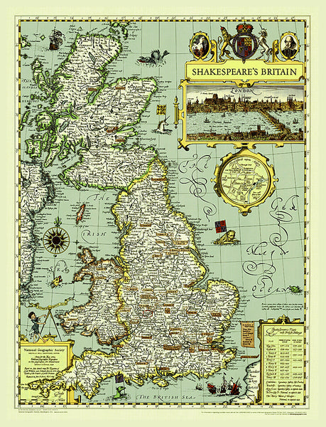
Item # NG-RE01020304Illustrated Map of Shakespeare's Britain National Geographic 21x27 Wall Map Poster - NG Maps
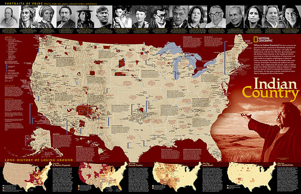
Item # NG-RE00620097Indian Country Native Cultures of the United States National Geographic 20x31 Wall Map Poster - NG Maps
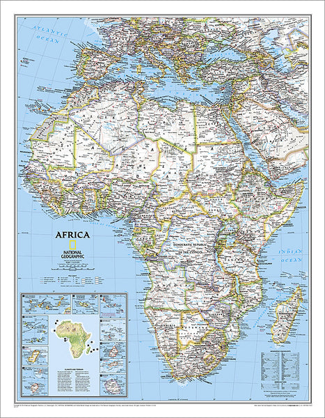
Item # NG-RE00620315Map of Africa National Geographic Classic Edition 24x31 Wall Map Poster - NG Maps
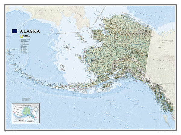
Item # NG-RE00622110Map of Alaska National Geographic Classic Edition 30x40 Wall Map Poster - NG Maps
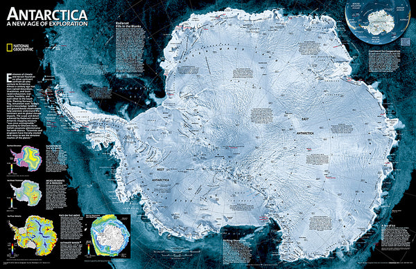
Item # NG-RE01020587Map of ANTARCTICA National Geographic Classic Edition 20x30 Wall Map Poster - NG Maps
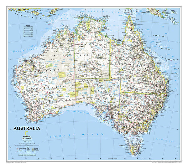
Item # NG-RE00620091Map of AUSTRALIA National Geographic Classic Edition 27x30 Wall Map Poster - NG Maps
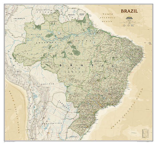
Item # NG-RE00620002Map of BRAZIL National Geographic Executive Edition 38x41 Brasil Wall Map Poster - NG Maps
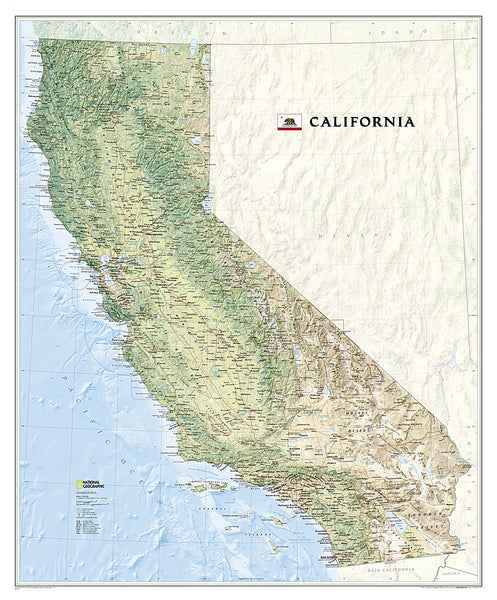
Item # NG-RE01020611Map of California National Geographic Classic Edition 33x40 Wall Map Poster - NG Maps
Item # NG-RE01020371Map of CENTRAL AMERICA National Geographic Classic Edition 22x29 Wall Map Poster - NG Maps
Item # NG-RE00620011Map of CHINA National Geographic Classic Edition 24x30 Wall Map Poster - NG Maps
Item # NG-RE00620057Map of CUBA National Geographic Classic Edition 24x36 Wall Map Poster - NG Maps
Item # NG-RE01020614Map of Germany National Geographic Classic Edition 23x30 Wall Map Poster - NG Maps
Item # NG-RE00602814Map of Hawaii National Geographic Classic Edition 22x35 Wall Map Poster - NG Maps
Item # NG-RE00602061Map of INDIA National Geographic Classic Edition 23x30 Wall Map Poster - NG Maps
Item # NG-RE00620546Map of IRELAND National Geographic Classic Edition 30x36 Wall Map Poster - NG Maps
Item # NG-RE01020427Map of ITALY National Geographic Classic Edition 23x34 Wall Map Poster - NG Maps
Item # NG-RE00602297Map of JAPAN National Geographic Classic Edition 25x29 Wall Map Poster - NG Maps
Item # NG-RE01020670Map of MEXICO National Geographic Classic Edition 23x35 Wall Map Poster - NG Maps
Item # NG-RE00602295Map of RUSSIA National Geographic Classic Edition 23x30 Wall Map Poster - NG Maps
Item # NG-RE00622091Map of SCOTLAND National Geographic Classic Edition 30x36 Wall Map Poster - NG Maps
Item # NG-RE01020533Map of SOUTH AFRICA National Geographic Classic Edition 23x30 Wall Map Poster - NG Maps
Item # NG-RE01020763Map of SOUTH AMERICA National Geographic Classic Edition 23x30 Wall Map Poster - NG Maps
Item # NG-RE00622110Map of Spain and Portugal National Geographic Classic Edition 22x33 Wall Map Poster - NG Maps
Item # NG-RE00622070Map of TEXAS National Geographic Classic Edition 38x40 Wall Map Poster - NG Maps
Item # NG-RE01020408Map of the United States of America National Geographic Classic Edition 30x43 Wall Map Poster - NG Maps
Item # NG-RE00602003Map of the United States of America National Geographic Decorator-Edition 30x43 Wall Map Poster - NG Maps
Item # NG-RE00622081Map of the World "Hemispheres" Retro 1940s Style National Geographic 25x43 Wall Map Poster - NG Maps 2010
Item # NG-RE00620547Map of the World National Geographic Classic Edition 30x43 Wall Map Poster - NG Maps
Item # NG-RE00622005Mount Everest National Geographic 30x47 Wall Map 2-Sided Poster - NG Maps
Item # NG-RE00620098National Parks of the Canada National Geographic 30x42 Wall Map Poster - NG Maps
Item # NG-RE01020680National Parks of the United States National Geographic 30x42 Wall Map Poster - NG Maps
Item # NG-RE01020599North American Indian Cultures National Geographic 24x36 Wall Map Poster - NG Maps
Item # NG-RE00620319Railroad Legacy of the United States National Geographic 24x36 Wall Map Poster - NG Maps
Item # NG-RE01020718The Appalachian Trail National Geographic 18x48 Hiking Wall Map Poster - NG Maps
Item # NG-RE01020715The Colorado Trail National Geographic 18x48 Hiking Wall Map Poster - NG Maps
Item # NG-RE01021199The Continental Divide Trail National Geographic 18x48 Hiking Wall Map Poster - NG Maps
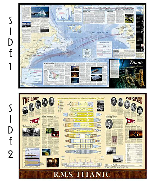
Item # NG-RE01021202The Titanic National Geographic 26x39 History Wall Map 2-Sided Poster - NG Maps
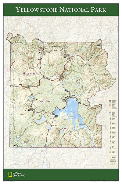
Item # NG-RE01020684Yellowstone National Park National Geographic 24x36 Wall Map Poster - NG Maps
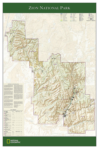
Item # NG-RE01020307Zion National Park National Geographic 24x36 Wall Map Poster - NG Maps
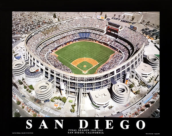
Item # NG-RE01020343San Diego Padres Jack Murphy Stadium Final Season 22x28 Poster Print - Aerial Views 2003
Item # AV-090Toronto Raptors "Dino-Vince" NBA City Edition 2024-25 Premium Felt Pennant - Wincraft
Item # WI-PP-2628Golden State Warriors 2024-25 NBA City Edition Premium Felt Pennant - Wincraft
Item # WI-PP-2627Philadelphia 76ers "Brotherly Love" 2024-25 NBA City Edition Premium Felt Pennant - Wincraft
Item # WI-PP-2626Connor Zilisch WeatherTech Chevrolet #88 Official NASCAR Deluxe-Edition 3'x5' Flag - Wincraft 2025
Item # WI-FLAG-634Los Angeles Clippers "Clips" 2024-25 NBA City Edition Premium Felt Pennant - Wincraft
Item # WI-PP-2625Oklahoma City Thunder 2024-25 NBA City Edition Premium Felt Pennant - Wincraft
Item # WI-PP-2624Los Angeles Dodgers "Mickey Mouse Flamethrower" Official MLB Disney Premium Felt Pennant - Wincraft Inc.
Item # WI-PP-2623Shohei Ohtani 2024 National League MVP Los Angeles Dodgers Premium Felt Collector's 17x26 BANNER - Wincraft
Item # WI-BA-153Washington Commanders Official NFL Football 3'x5' Deluxe-Edition Flag (Helmet-Style) - Wincraft Inc.
Item # WI-FLAG-633Oakland A's Official 2-Sided Team Logo 28x40 Applique Wall Banner - Wincraft Inc.
Item # WI-AF-001Aaron Judge New York Yankees 2024 American League MVP Commemorative Felt Pennant - Wincraft
Item # WI-PP-2622Toronto Raptors "Dino Vince" 2024-25 City Edition Official NBA Basketball 3'x5' DELUXE Team Flag - Wincraft
Item # WI-FLAG-632Minnesota North Stars Official NHL Vintage Hockey 3'x5' Deluxe Retro Team Flag - Wincraft
Item # WI-FLAG-631Cleveland Browns "Mickey QB Gunslinger" Official NFL/Disney Premium Felt Pennant - Wincraft Inc
Item # WI-PP-2621Detroit Lions Blue-on-Black-Style Premium Felt Collector's Pennant - Wincraft Inc.
Item # WI-PP-2620Kansas State Wildcats Retro 1970s "Leaning Willie" Style NCAA Premium Felt Collector's Pennant - Wincraft
Item # WI-PP-2619Texas A&M Aggies Retro "Ol' Sarge" Style NCAA Deluxe-Edition 3'x5' Flag
Item # WI-FLAG-630Racing Club de Strasbourg Ligue 1 Football Official Team Crest Logo Poster - Starline 1998
Item # S4187Map of SCOTLAND National Geographic Classic Edition 30x36 Wall Map Poster - NG Maps
Item # NG-RE01020533Map of IRELAND National Geographic Classic Edition 30x36 Wall Map Poster - NG Maps
Item # NG-RE01020427Map of CENTRAL AMERICA National Geographic Classic Edition 22x29 Wall Map Poster - NG Maps
Item # NG-RE00620011Map of ITALY National Geographic Classic Edition 23x34 Wall Map Poster - NG Maps
Item # NG-RE00602297Map of MEXICO National Geographic Classic Edition 23x35 Wall Map Poster - NG Maps
Item # NG-RE00602295Emmitt Smith "Superstar" Dallas Cowboys NFL Action Poster - Emmitt Inc. 1994
Item # MF148Drexel University Dragons Official NCAA Team Logo Premium Felt Pennant - Wincraft Inc.
Item # WI-PP-2618Kyle Larson NASCAR #5 HendrickCars 2024 Chevrolet Official HUGE 3'x5' Flag - Wincraft
Item # WI-FLAG-286-24-BUniversity of Nebraska Cornhuskers Retro-Herbie 1970s-Style NCAA Deluxe 3'x5' Flag - Wincraft
Item # WI-FLAG-629Ithaca College BOMBERS Official NCAA Deluxe 3'x5' Team Logo Flag - Wincraft
Item # WI-FLAG-628Oakland A's "Since 1968" Retro Cooperstown Collection MLB Baseball Deluxe-Edition 3'x5' Flag - Wincraft
Item # WI-FLAG-627Indiana Fever Official WNBA Basketball Team 3'x5' Flag - Wincraft Inc.
Item # WI-FLAG-626Detroit Lions 1972 Stancraft George Bartell Series Vintage Original 24x36 Theme Art Poster
Item # STAN-003Kansas City Royals Official MLB Baseball Retro-Style Premium Felt Pennant - Wincraft
Item # WI-PP-2617Texas A&M Aggies Football Retro 1950s-Style Premium Felt Collector's Pennant - Wincraft Inc.
Item # WI-PP-2616Purdue Boilermakers "Boiler Up" Official NCAA Deluxe-Edition 3'x5' Flag - Wincraft Inc.
Item # WI-FLAG-625Noah Gragson NASCAR #10 Bass Pro Winchester Ford Official HUGE 3'x5' FLAG - Wincraft 2024
Item # WI-FLAG-624George Mason University PATRIOTS Official NCAA Team Logo NCAA 28x40 Wall Banner - Wincraft Inc.
Item # WI-FL-535Grand Valley State University LAKERS Official NCAA Team Logo NCAA 28x40 Wall Banner - Wincraft Inc.
Item # WI-FL-534Las Vegas Aces 2023 WNBA Back-to-Back Champions Official 28x40 Wall Banner - Wincraft
Item # WI-FL-533DiJonai Carrington Connecticut Sun WNBA Most Improved 2024 Premium Felt Pennant - Wincraft
Item # WI-PP-2595Cleveland Cavaliers 'The Land" 2023-24 NBA City Edition Premium Felt Pennant - Wincraft
Item # WI-PP-2615Ross Chastain NASCAR #1 CAMO Busch Light Chevrolet (2024) Official 3'x5' Deluxe Flag - Wincraft Inc.
Item # WI-FLAG-623Utah Hockey Club Official NHL Hockey Team Premium 28x40 Wall Banner - Wincraft Inc.
Item # WI-FL-532Saint Joseph's University HAWKS Official NCAA Team Logo NCAA Premium 28x40 Wall Banner - Wincraft Inc.
Item # WI-FL-531Houston Texans Official NFL Team Logo and Wordmark 28x40 Wall BANNER - Wincraft Inc.
Item # WI-FL-530Ithaca College BOMBERS Official NCAA Team Logo NCAA Premium 28x40 Wall Banner - Wincraft Inc.
Item # WI-FL-529Shohei Ohtani 2024 National League MVP Los Angeles Dodgers Premium Felt Collector's Pennant - Wincraft
Item # WI-PP-2614Paul Skenes 2024 National League Rookie of the Year Pittsburgh Pirates Premium Felt Collector's Pennant - Wincraft
Item # WI-PP-2613Vintage Original 1966 DETROIT LIONS Dave Boss NFL Football Theme Art 24x36 POSTER
Item # MF147Touring the Majors MLB Ballparks Map of America Poster - Grand Slam Enterprises
Item # GSM-01Mount Everest Revealed Mountain Climbing Wall Chart Poster - Yumz
Item # YU-01Map of Portugal Wall Chart Poster (Regions, Capitals, Cities, Roads, Rivers, etc.) - Grupo Erik
Item # GE-GPE4799Map of Italy Italia Wall Chart Poster (Regions, Capitals, Cities, Roads, Rivers, etc.) - Grupo Erik
Item # GE-GPE5125Gleason's New Standard MAP OF THE WORLD (1892) 24x36 Wall POSTER Reproduction - Posterservice Inc. 2020
Item # PS-11565Map of The United States of America USA 24x36 Wall Poster - Eurographics Inc.
Item # EU2400-0788Map of Spain Wall Chart Poster (Regions, Capitals, Cities, Roads, Rivers, etc.) - Grupo Erik
Item # GE-GPE5030National Parks of the United States National Geographic 30x42 Wall Map Poster - NG Maps
Item # NG-RE01020599Map of the Roman Empire circa 180 CE Premium Wall Poster - Useful Charts
Item # UC-13The Appalachian Trail National Geographic 18x48 Hiking Wall Map Poster - NG Maps
Item # NG-RE01020715American Revolutionary War/War of 1812 National Geographic 24x36 History Wall Map 2-Sided Poster - NG Maps
Item # NG-RE01020603Constellations of the Zodiac Astronomy Wall Chart Poster - Eurographics Inc.
Item # EU2450-4450Battles of the American Civil War National Geographic 24x36 Wall Map Poster - NG Maps
Item # NG-RE00620346Map of Great Britain and Ireland Wall Poster - GB Eye Ltd.
Item # GB-GN0147Bird Migration of the Western Hemisphere National Geographic 20x31 Wall Map Poster - NG Maps
Item # NG-RE01020304Map of Catalonia (Catalunya) Wall Chart Poster (Regions, Capitals, Cities, Roads, Rivers, etc.) - Grupo Erik
Item # GE-GPE4244Planetary Visions Physical Map of the World (Miller Cylindrical Projection) Wall POSTER - GB Eye
Item # GB-GN0394Map of INDIA National Geographic Classic Edition 23x30 Wall Map Poster - NG Maps
Item # NG-RE00620546The Colorado Trail National Geographic 18x48 Hiking Wall Map Poster - NG Maps
Item # NG-RE01021199North American Indian Cultures National Geographic 24x36 Wall Map Poster - NG Maps
Item # NG-RE00620319Map of the World Typography Text Map Poster by Michael Tompsett - Trends
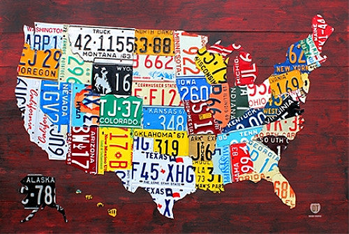
Item # CN13480-14License Plates Map of the United States of America Poster - PosterService Inc.
Item # PS-10205Map of JAPAN National Geographic Classic Edition 25x29 Wall Map Poster - NG Maps
Item # NG-RE01020670Map of Hawaii National Geographic Classic Edition 22x35 Wall Map Poster - NG Maps
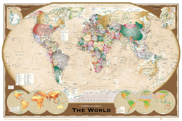
Item # NG-RE00602061Wall Map of The World Poster (Winkel Tripel Projection) - GB Eye Ltd.
Item # GB-GN0532Map of Germany National Geographic Classic Edition 23x30 Wall Map Poster - NG Maps
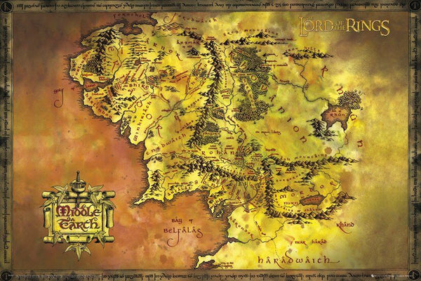
Item # NG-RE00602814Map of Middle Earth Poster (from J.R.R. Tolkien's The Lord of the Rings) - GB Eye Inc.
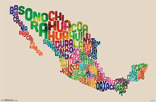
Item # SB-GB-FP2647Map of Mexico Typography Text Map Wall Poster by Michael Tompsett - Trends International
Item # CN13491-14-LMap of France Wall Chart Poster (Regions, Capitals, Cities, Rivers, etc.) - GB Eye
Item # GB-GN0779Bronze Age Mesopotamia (1700-600 BCE) Maps Premium 24x36 Reference Poster - Useful Charts/World History Encyclopedia
Item # UC-23Map of the World 22x34 Wall Poster - Collins Bartholomew Ltd.
Item # CN10157-19Indian Country Native Cultures of the United States National Geographic 20x31 Wall Map Poster - NG Maps
Item # NG-RE00620315Map of the World Wall Poster - Trends International Inc.
Item # CN6131-09Mount Everest National Geographic 30x47 Wall Map 2-Sided Poster - NG Maps
Item # NG-RE00620098The Ultimate British Isles and Ireland Wall Map Poster w/120 County Flags - Chartex Inc. (UK)
Item # CX-1902AMap of RUSSIA National Geographic Classic Edition 23x30 Wall Map Poster - NG Maps
Item # NG-RE00622091Railroad Legacy of the United States National Geographic 24x36 Wall Map Poster - NG Maps
Item # NG-RE01020718National Parks of the Canada National Geographic 30x42 Wall Map Poster - NG Maps
Item # NG-RE01020680Map of TEXAS National Geographic Classic Edition 38x40 Wall Map Poster - NG Maps
Item # NG-RE01020408Map of the World National Geographic Classic Edition 30x43 Wall Map Poster - NG Maps
Item # NG-RE00622005Picture Map of the Holy Land (Harold Brown c.1928) Extra-Large Israel Poster
Item # AAC-AM7021Map of Canada Typography Text Map Wall Poster by Michael Tompsett - Trends International
Item # CN13490-14United States of America "States and Capitals" Wall Map Poster - Pyramid America
Item # PP-PAS0353The Titanic National Geographic 26x39 History Wall Map 2-Sided Poster - NG Maps
Item # NG-RE01020684The Continental Divide Trail National Geographic 18x48 Hiking Wall Map Poster - NG Maps
Item # NG-RE01021202Map of Europe (50 Nations) 24x36 Wall Poster - Eurographics Inc.
Item # EU2400-5374
