USA Albers Equal Area Projection Map - Import Images
- USD $1995 $19.95
Item #: II-ST3178
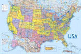
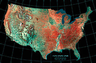
Mosaic of Fifteen AVHRR Images
24 May, 1984 - 14 May, 1986
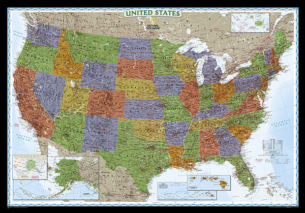
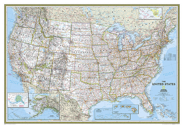
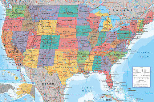
Add the most accurate-possible area map of continental America to your wall! Using the Albers method, this poster gives you a bird's-eye satellite view of the USA, with every state appearing in precise proportional size to each other. The major mountain ranges, plains, and river valleys are visible through colorful shading, and the state borders are marked in white. Perfect for any lover of the greatest country on earth!
Poster Specifications:
Shop for more related posters in these collections:
We Also Recommend
*SHIPS 1/26* Super Bowl LX (San Francisco Bay Area 2026) Official NFL Championship Event 28x40 BANNER Flag - Wincraft
Item # WI-FL-577*SHIPS APPROX. 1/22* Super Bowl LX (San Francisco 2026) Official NFL Football Commemorative Pop Art Poster - Fazzino
Item # FAZ-048*SHIPS APPROX. 1/22* Super Bowl LX (San Francisco Bay Area 2026) Official NFL SUPER TICKETS Game History Poster - Costacos Sports
Item # CN27693-26Alex Ovechkin NHL's All-Time Leading Goal Scorer Washington Capitals Commemorative Poster - Costacos 2025
Item # CN26704-25Biblical Family Tree and Historical Timeline Wall Chart Premium Reference Poster - Useful Charts
Item # UC-17Bijan Robinson "Superstar" Atlanta Falcons NFL Action Poster - Costacos 2024
Item # CN25454-24Caitlin Clark Indiana Fever 2024 WNBA Rookie of the Year Commemorative Poster - Costacos Sports
Item # CN26065-24CeeDee Lamb "Trailblazer" Dallas Cowboys NFL Action Poster - Costacos 2024
Item # CN25459-24Christian McCaffrey "Superstar" San Francisco 49ers NFL Action Wall Poster - Costacos 2024
Item # CN25478-24Cincinnati Bengals Official NFL Football Team Helmet Logo Neon-Style Poster - Costacos Sports
Item # CN23838-23Coach John Wooden's "Pyramid of Success" Motivational Inspirational Wall Poster - Classic Edition
Item # JWC-01-CLCoach John Wooden's "Pyramid of Success" Motivational Inspirational Wall Poster - Executive Edition
Item # JWC-01COMBO: Lionel Messi Inter Miami CF Official MLS Soccer Action 2-Poster Combo Set
Item # PSAC-129COMBO: Vegas Golden Knights 2023 Stanley Cup Champions Commemorative 2-Poster Set - Costacos Sports
Item # CN23052-23053Connor McDavid "Superstar" Edmonton Oilers NHL Hockey Poster - Costacos Sports 2022
Item # CN22885-22Dak Prescott "Lone Star Great" Dallas Cowboys QB NFL Action Poster - Costacos Sports 2022
Item # CN22714-22Denver Nuggets 2023 NBA Champions Official Commemorative Poster - Costacos Sports
Item # CN23048-23Detroit Lions Official NFL Football Team Helmet Logo Neon-Style Poster - Costacos Sports
Item # CN23842-23Dumbbell Exercises Workout 2-Poster Professional Wall Chart Combo - Productive Fitness
Item # PFP-DUMBELLSFitness Gym Motivational "Challenge Your Limits" Inspirational Quotes Wall Poster - Trends Int'l.
Item # CN15817-17Ford F-150 F-Series Pickup Truck Evolution (26 Models Since 1948) Autophile Poster - Eurographics
Item # EU2400-0950Ford Model T Automobiles (1908-1927) Official Ford Motor Company Commemorative Poster - Aquarius
Item # SB-P2030Ford Mustang "Evolution" (29 Classic American Muscle Cars) Poster - Eurographics
Item # EU2450-0684Green Bay Packers Official NFL Football Team Helmet Logo Neon-Style Poster - Costacos Sports
Item # CN23843-23Jalen Hurts "Roll Out" Philadelphia Eagles QB NFL Action Wall Poster - Costacos 2023
Item # CN23943-23Jayden Daniels "Dynamo" Washington Commanders Official NFL Football Wall Poster - Costacos 2024
Item # CN26236-25Josh Allen "Touchdown Roar" Buffalo Bills QB NFL Action NFL Poster - Costacos 2023
Item # CN23937-23Kansas City Chiefs Super Bowl LVII (2023) CHAMPIONS 6-Player Commemorative Poster - Costacos
Item # CN22969-23Kansas City Chiefs Super Bowl LVIII (2024) CHAMPIONS 8-Player Commemorative Poster - Costacos
Item # CN23874-24Kobe Bryant and Shaquille O'Neal "Showtime" Los Angeles Lakers Poster - Starline 1999
Item # S3568Kylian Mbappé "Superstar" Real Madrid CF Official La Liga Football Action 24x36 Poster - Grupo Erik (Spain)
Item # GE-GPE6028LeBron James "Legend" Los Angeles Lakers Official NBA Poster - Costacos Sports
Item # CN24074-23LeBron James "Showtime 6" Los Angeles Lakers Official NBA Poster - Costacos 2022
Item # CN22691-22Lionel Messi "In Action" Inter Miami CF MLS Soccer Poster - Costacos 2025
Item # CN26226-25Lionel Messi "Passion For The Game" Inter Miami CF MLS Soccer Poster - Costacos 2025
Item # CN26227-25Los Angeles Chargers Official NFL Football Team Helmet Logo Neon-Style Poster - Costacos Sports
Item # CN23849-23Luka Doncic "Golden Star" Los Angeles Lakers Official NBA Basketball Action Poster - Costacos 2025
Item # CN26475-25Marilyn Monroe "Pumping Iron" (Hollywood 1952) Poster Print - Image Conscious.
Item # IC-H353Maxx Crosby "Superstar" Las Vegas Raiders NFL Action Wall Poster - Costacos 2024
Item # CN25466-24Micah Parsons "Prowler" Dallas Cowboys Linebacker NFL Action Poster - Costacos Sports 2022
Item # CN22653-22Michael Jordan "10-Time NBA Scoring Champion" Chicago Bulls Commemorative NBA Poster - Costacos Sports 2025
Item # CN27293-25Michael Jordan "1987 Slam Dunk Classic" Chicago Bulls Commemorative NBA Poster - Costacos Sports 2022
Item # CN21923-22Michael Jordan "23 Soaring Slam" Chicago Bulls Commemorative NBA Poster - Costacos Sports 2022
Item # CN21928-22Michael Jordan "Championship History" Chicago Bulls Commemorative NBA Poster - Costacos Sports 2023
Item # CN24362-23Michael Jordan "Cloudburst" Chicago Bulls Commemorative NBA Basketball Action Poster - Costacos Sports 2023
Item # CN23327-23Michael Jordan "Fly" Chicago Bulls Slam Dunk Inspirational NBA Poster - Costacos Sports 2022
Item # CN21927-22Michael Jordan "Pinstripes Slam" Chicago Bulls Commemorative NBA Poster - Costacos Sports
Item # CN21929-22Michael Jordan "Six-Foot Slam" Chicago Bulls HUGE Door-Sized Poster - Costacos 1997
Item # CN8364-97Minnesota Vikings Official NFL Football Team Helmet Logo Neon-Style Poster - Costacos Sports
Item # CN23852-23MLB Major League Baseball Logos (All 30 Teams) Poster - Costacos Sports
Item # CN24766-24Map of The United States of America USA 24x36 Wall Poster - Eurographics Inc.
Item # EU2400-0788National Parks of the United States National Geographic 30x42 Wall Map Poster - NG Maps
Item # NG-RE01020599American Revolutionary War/War of 1812 National Geographic 24x36 History Wall Map 2-Sided Poster - NG Maps
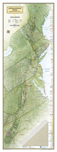
Item # NG-RE01020603The Appalachian Trail National Geographic 18x48 Hiking Wall Map Poster - NG Maps
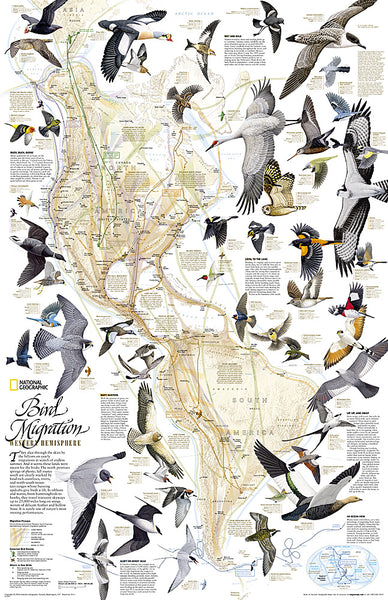
Item # NG-RE01020715Bird Migration of the Western Hemisphere National Geographic 20x31 Wall Map Poster - NG Maps
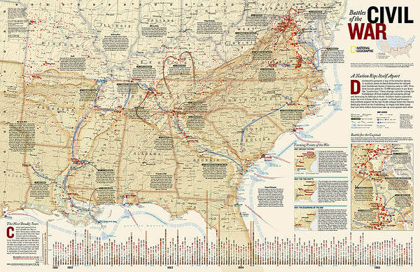
Item # NG-RE01020304Battles of the American Civil War National Geographic 24x36 Wall Map Poster - NG Maps
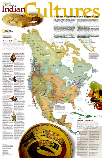
Item # NG-RE00620346North American Indian Cultures National Geographic 24x36 Wall Map Poster - NG Maps
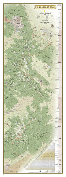
Item # NG-RE00620319The Colorado Trail National Geographic 18x48 Hiking Wall Map Poster - NG Maps
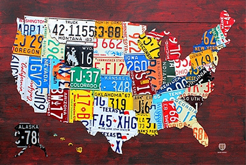
Item # NG-RE01021199License Plates Map of the United States of America Poster - PosterService Inc.
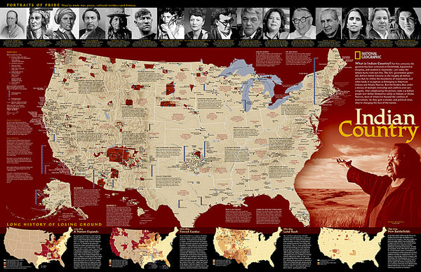
Item # PS-10205Indian Country Native Cultures of the United States National Geographic 20x31 Wall Map Poster - NG Maps
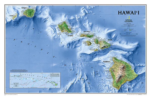
Item # NG-RE00620315Map of Hawaii National Geographic Classic Edition 22x35 Wall Map Poster - NG Maps
Item # NG-RE00602061Map of Alaska National Geographic Classic Edition 30x40 Wall Map Poster - NG Maps
Item # NG-RE01020587Zion National Park National Geographic 24x36 Wall Map Poster - NG Maps
Item # NG-RE01020343United States of America "States and Capitals" Wall Map Poster - Pyramid America
Item # PP-PAS0353Railroad Legacy of the United States National Geographic 24x36 Wall Map Poster - NG Maps
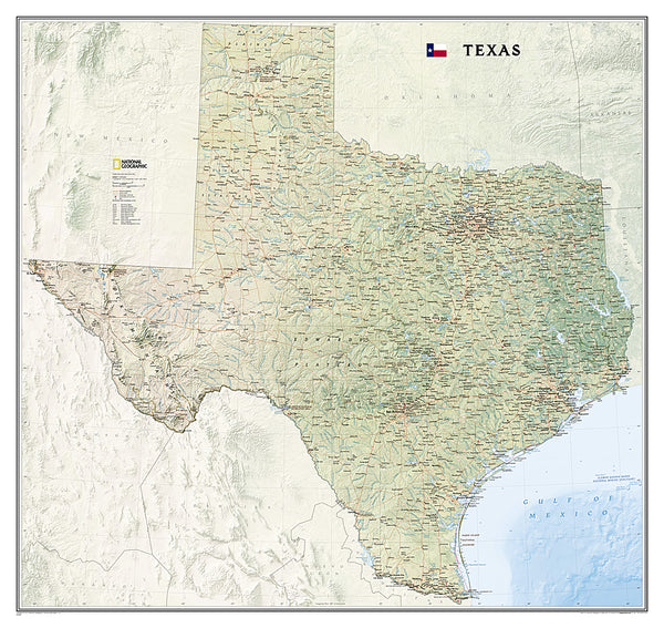
Item # NG-RE01020718Map of TEXAS National Geographic Classic Edition 38x40 Wall Map Poster - NG Maps
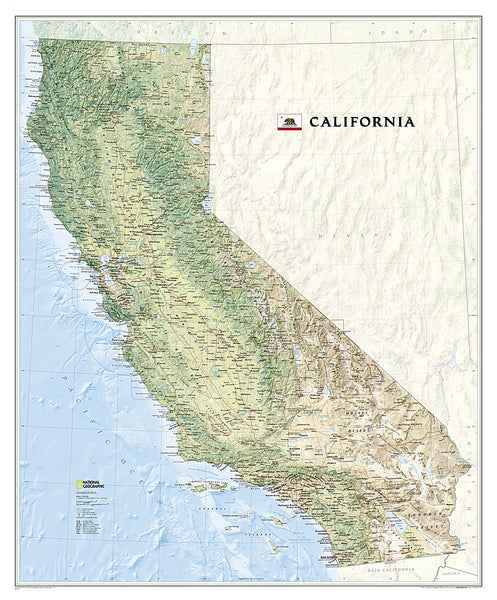
Item # NG-RE01020408Map of California National Geographic Classic Edition 33x40 Wall Map Poster - NG Maps
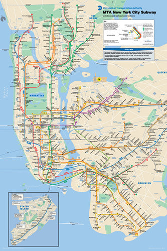
Item # NG-RE01020371New York City Subway Route Map Poster - Pyramid America
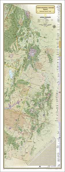
Item # PP-PAS0310The Continental Divide Trail National Geographic 18x48 Hiking Wall Map Poster - NG Maps
Item # NG-RE01021202Map of the United States of America National Geographic Decorator-Edition 30x43 Wall Map Poster - NG Maps
Item # NG-RE00622081Map of the United States of America National Geographic Classic Edition 30x43 Wall Map Poster - NG Maps
Item # NG-RE00602003United States of America Typography Text Map Poster by Michael Tompsett - Trends
Item # CN13479-14Historic Cape Cod Wall Map (1858) Poster Reproduction - Image Source International
Item # IS-AMC001Yellowstone National Park National Geographic 24x36 Wall Map Poster - NG Maps
Item # NG-RE01020307Chicago, Illinois 1874 Classic Aerial Panorama Premium Poster Reproduction (Parsons and Atwater)
Item # BM-P4159-5PTouring the Majors MLB Ballparks Map of America Poster - Grand Slam Enterprises
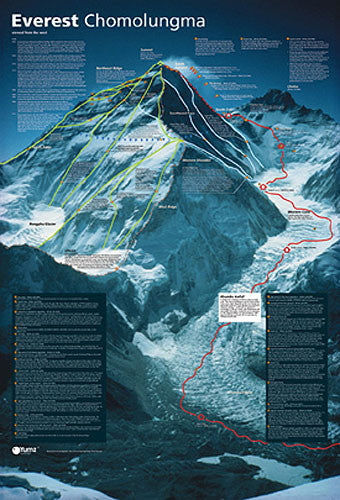
Item # GSM-01Mount Everest Revealed Mountain Climbing Wall Chart Poster - Yumz
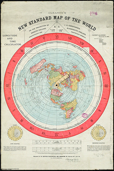
Item # YU-01Gleason's New Standard MAP OF THE WORLD (1892) 24x36 Wall POSTER Reproduction - Posterservice Inc. 2020
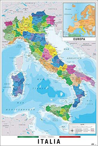
Item # PS-11565Map of Italy Italia Wall Chart Poster (Regions, Capitals, Cities, Roads, Rivers, etc.) - Grupo Erik
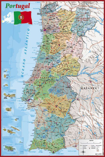
Item # GE-GPE5125Map of Portugal Wall Chart Poster (Regions, Capitals, Cities, Roads, Rivers, etc.) - Grupo Erik
Item # GE-GPE4799Map of The United States of America USA 24x36 Wall Poster - Eurographics Inc.
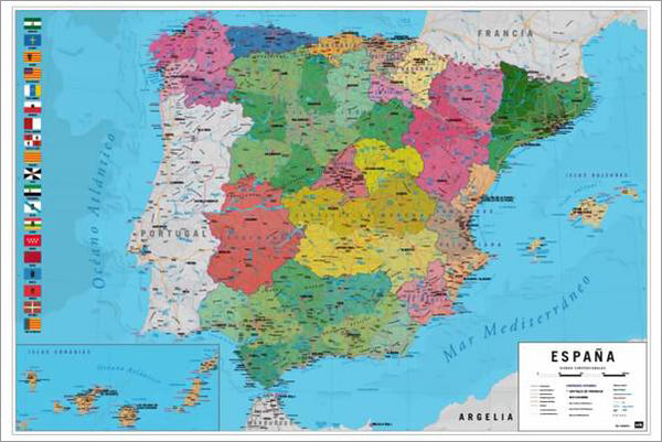
Item # EU2400-0788Map of Spain Wall Chart Poster (Regions, Capitals, Cities, Roads, Rivers, etc.) - Grupo Erik
Item # GE-GPE5030National Parks of the United States National Geographic 30x42 Wall Map Poster - NG Maps
Item # NG-RE01020599American Revolutionary War/War of 1812 National Geographic 24x36 History Wall Map 2-Sided Poster - NG Maps
Item # NG-RE01020603The Appalachian Trail National Geographic 18x48 Hiking Wall Map Poster - NG Maps
Item # NG-RE01020715Bird Migration of the Western Hemisphere National Geographic 20x31 Wall Map Poster - NG Maps
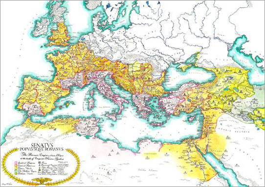
Item # NG-RE01020304Map of the Roman Empire circa 180 CE Premium Wall Poster - Useful Charts
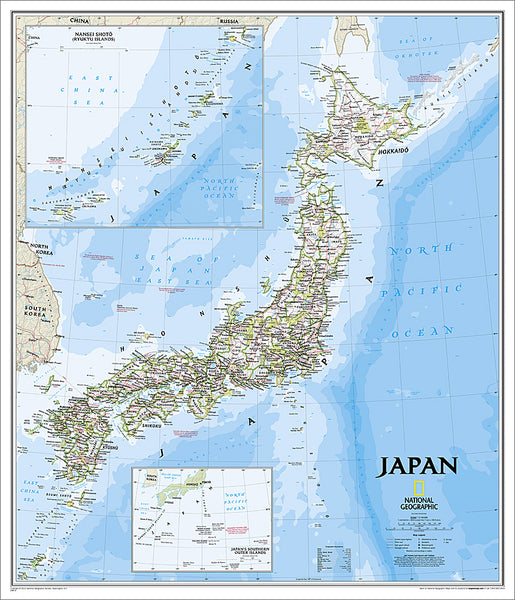
Item # UC-13Map of JAPAN National Geographic Classic Edition 25x29 Wall Map Poster - NG Maps
Item # NG-RE01020670Battles of the American Civil War National Geographic 24x36 Wall Map Poster - NG Maps
Item # NG-RE00620346North American Indian Cultures National Geographic 24x36 Wall Map Poster - NG Maps
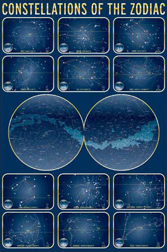
Item # NG-RE00620319Constellations of the Zodiac Astronomy Wall Chart Poster - Eurographics Inc.
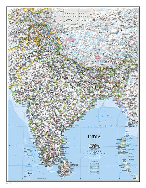
Item # EU2450-4450Map of INDIA National Geographic Classic Edition 23x30 Wall Map Poster - NG Maps
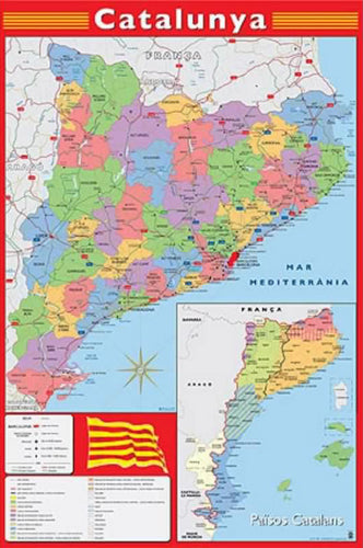
Item # NG-RE00620546Map of Catalonia (Catalunya) Wall Chart Poster (Regions, Capitals, Cities, Roads, Rivers, etc.) - Grupo Erik
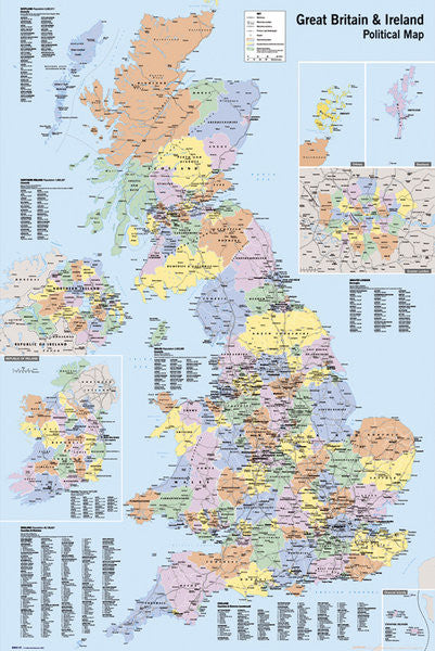
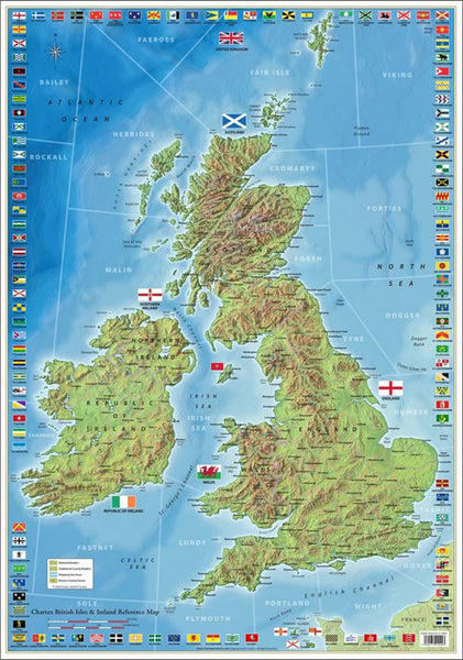
Item # GE-GPE4244Map of Great Britain and Ireland Wall Poster - GB Eye Ltd.
Item # GB-GN0147The Colorado Trail National Geographic 18x48 Hiking Wall Map Poster - NG Maps
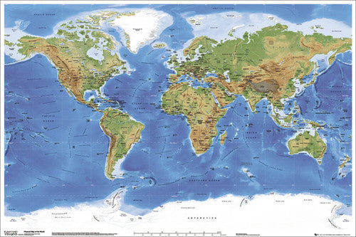
Item # NG-RE01021199Planetary Visions Physical Map of the World (Miller Cylindrical Projection) Wall POSTER - GB Eye
Item # GB-GN0394License Plates Map of the United States of America Poster - PosterService Inc.
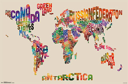
Item # PS-10205Map of the World Typography Text Map Poster by Michael Tompsett - Trends
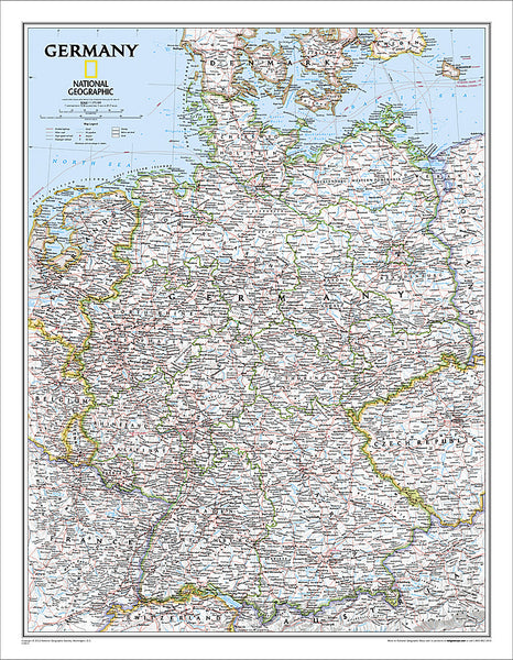
Item # CN13480-14Map of Germany National Geographic Classic Edition 23x30 Wall Map Poster - NG Maps
Item # NG-RE00602814Indian Country Native Cultures of the United States National Geographic 20x31 Wall Map Poster - NG Maps
Item # NG-RE00620315Map of Hawaii National Geographic Classic Edition 22x35 Wall Map Poster - NG Maps
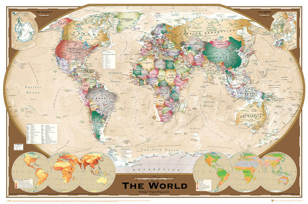
Item # NG-RE00602061Wall Map of The World Poster (Winkel Tripel Projection) - GB Eye Ltd.
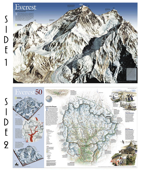
Item # GB-GN0532Mount Everest National Geographic 30x47 Wall Map 2-Sided Poster - NG Maps
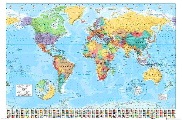
Item # NG-RE00620098Map of the World 22x34 Wall Poster - Collins Bartholomew Ltd.
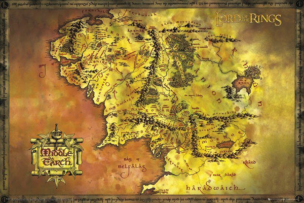
Item # CN10157-19Map of Middle Earth Poster (from J.R.R. Tolkien's The Lord of the Rings) - GB Eye Inc.
Item # SB-GB-FP2647The Ultimate British Isles and Ireland Wall Map Poster w/120 County Flags - Chartex Inc. (UK)
Item # CX-1902AMap of Alaska National Geographic Classic Edition 30x40 Wall Map Poster - NG Maps
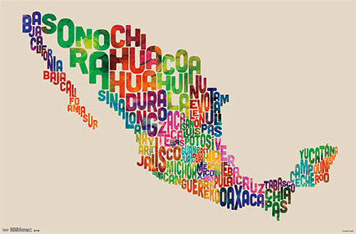
Item # NG-RE01020587Map of Mexico Typography Text Map Wall Poster by Michael Tompsett - Trends International
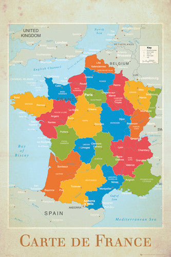
Item # CN13491-14-LMap of France Wall Chart Poster (Regions, Capitals, Cities, Rivers, etc.) - GB Eye
Item # GB-GN0779Flags of the World (197 Countries) Educational Wall Chart 24x36 Poster - Eurographics Inc.
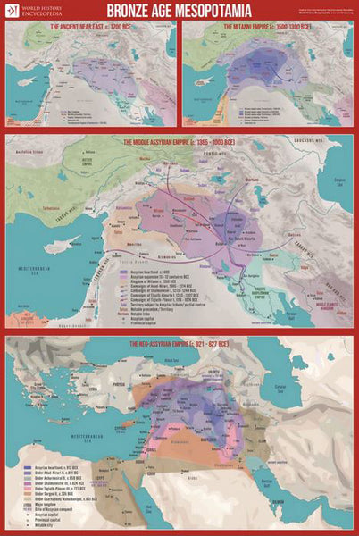
Item # EU2450-0128Bronze Age Mesopotamia (1700-600 BCE) Maps Premium 24x36 Reference Poster - Useful Charts/World History Encyclopedia
Item # UC-23Zion National Park National Geographic 24x36 Wall Map Poster - NG Maps
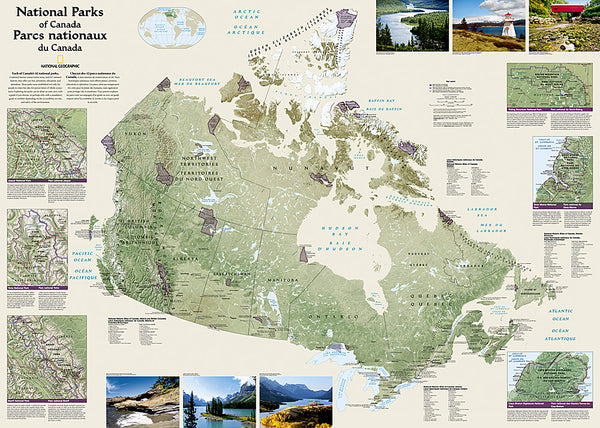
Item # NG-RE01020343National Parks of the Canada National Geographic 30x42 Wall Map Poster - NG Maps
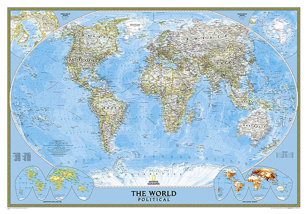
Item # NG-RE01020680Map of the World National Geographic Classic Edition 30x43 Wall Map Poster - NG Maps
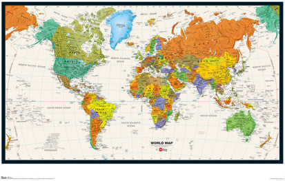
Item # NG-RE00622005World Map Wall Poster (Modern Political) by Eureka Cartography - Trends International 2017
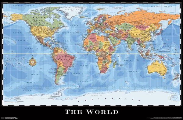
Item # CN15214-17Map of the World Wall Poster - Trends International Inc.
Item # CN6131-09United States of America "States and Capitals" Wall Map Poster - Pyramid America
Item # PP-PAS0353Map of RUSSIA National Geographic Classic Edition 23x30 Wall Map Poster - NG Maps
Item # NG-RE00622091Map of CUBA National Geographic Classic Edition 24x36 Wall Map Poster - NG Maps
Item # NG-RE01020614Railroad Legacy of the United States National Geographic 24x36 Wall Map Poster - NG Maps
Item # NG-RE01020718Map of TEXAS National Geographic Classic Edition 38x40 Wall Map Poster - NG Maps
Item # NG-RE01020408Map of California National Geographic Classic Edition 33x40 Wall Map Poster - NG Maps
Item # NG-RE01020371Picture Map of the Holy Land (Harold Brown c.1928) Extra-Large Israel Poster
Item # AAC-AM7021
